


Lot n° 71
Estimation :
20 - 40
EUR
Result with fees
Result
: 50EUR
France, 18th and early 19th centuries. - Lot 71
France, 18th and early 19th centuries.
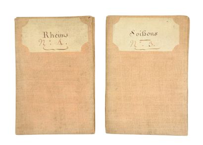
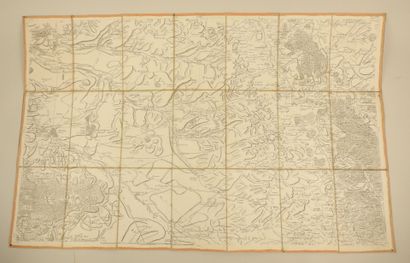
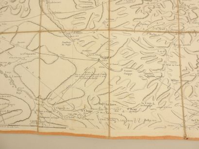
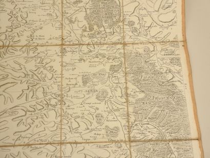
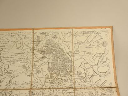
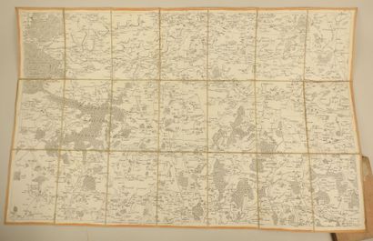
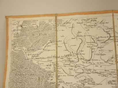
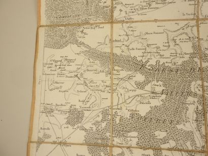
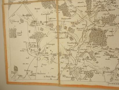
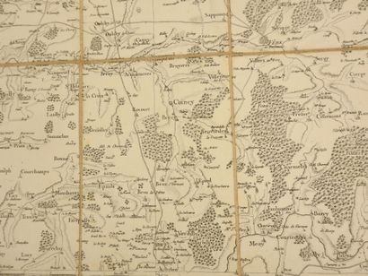
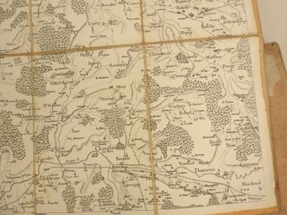
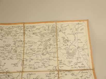
Lot of topographic maps.
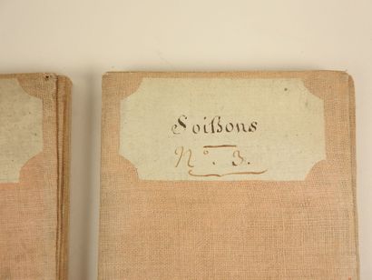
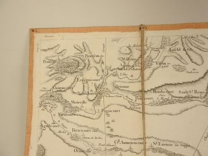
- Topographic map of SOISSONS.
Scale of ten thousand Toises. Twenty-one sheet canvas map.
Folded 20 x 13 cm and unfolded 60 x 94 cm.
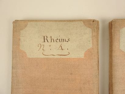
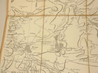
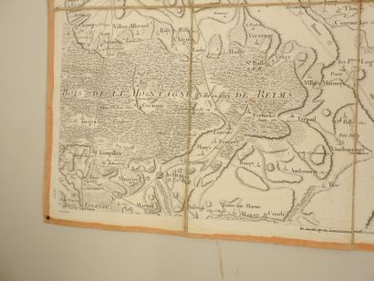
- Topographical map of RHEIMS.
Scale ten thousand Toises. Canvas map with twenty-one sheets.
Folded 20 x 13 cm and unfolded 60 x 94 cm.
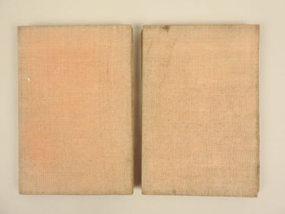
(Wear and age patina. Good condition).
My orders
Sale information
Sales conditions
Return to catalogue