


Lot n° 72
Estimation :
30 - 50
EUR
Result with fees
Result
: 38EUR
France, 18th and 19th centuries. - Lot 72
France, 18th and 19th centuries.
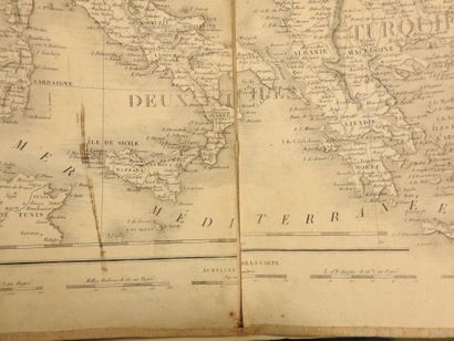
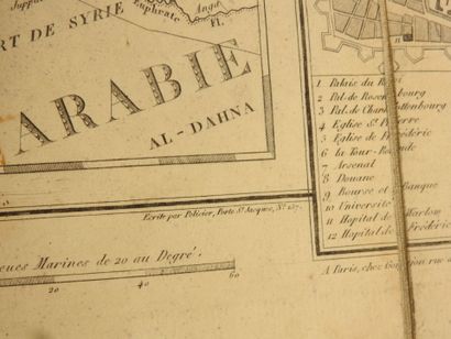
Set of three geographical maps.
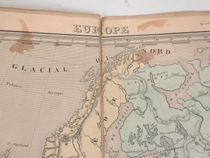
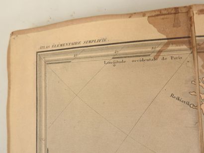
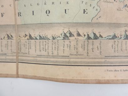
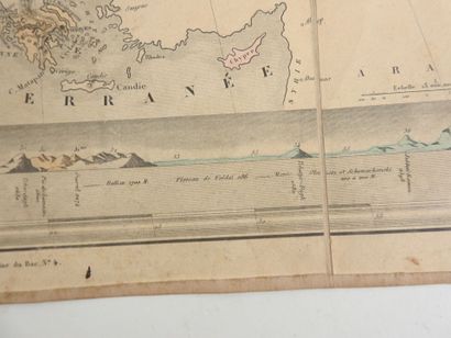
- Simplified elementary atlas map "EUROPE" (18th century).
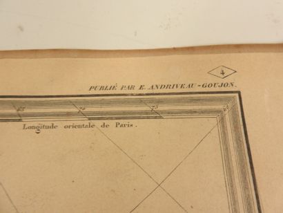
Canvas map with eight leaves. Published by E. Andriveau - Goujon.
Folded 21 x 14 cm and unfolded 42 x 55 cm.
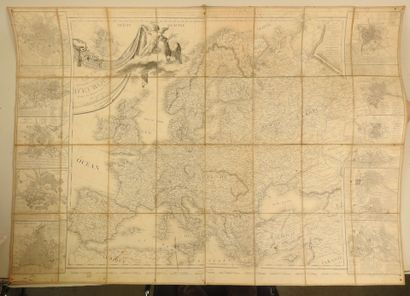
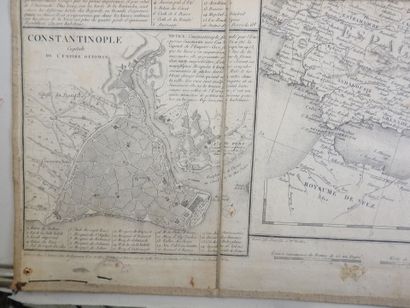
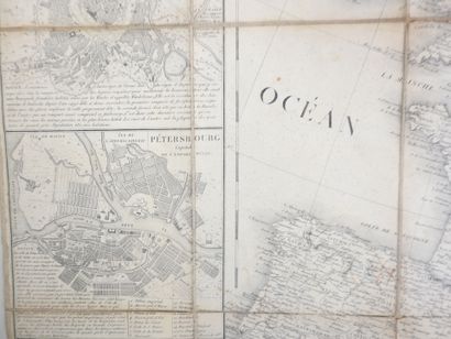
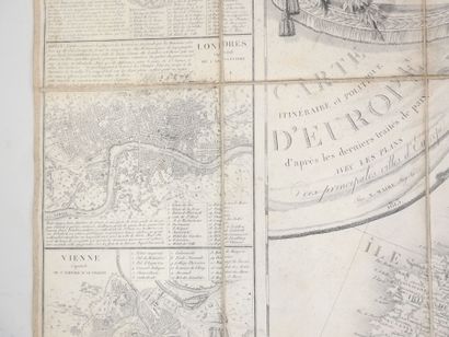
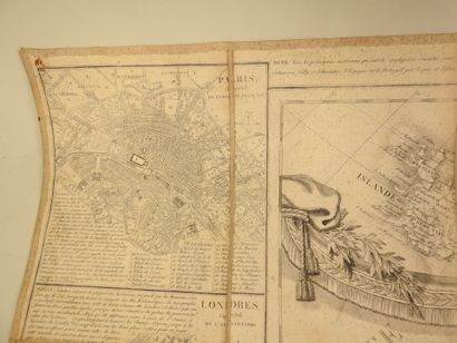
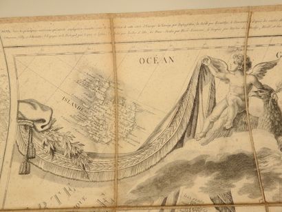
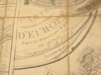
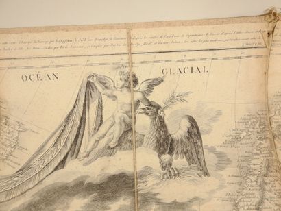
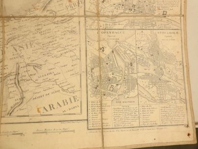
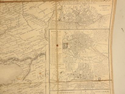
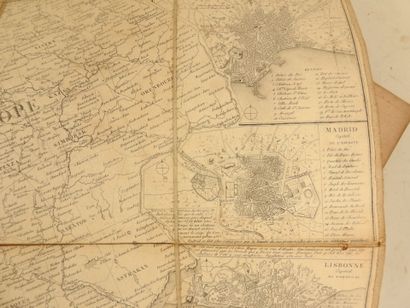
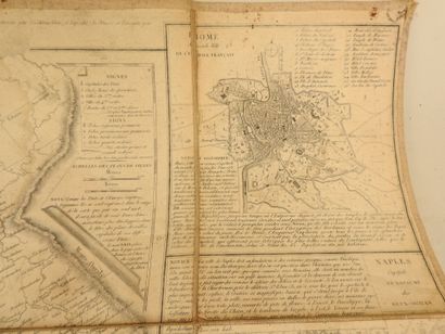
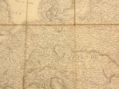
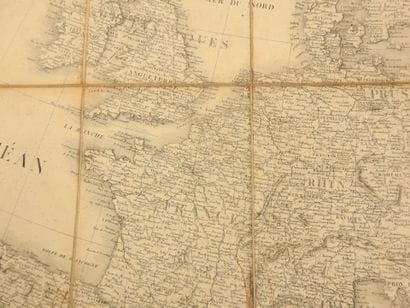
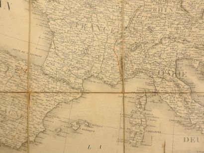
- Itinéraire et Politique d'EUROPE d'après les derniers traités de Paix avec les Plans des Principales Villes d'Europe, By N. MAIRE, Ing. Geo, 1813.
Canvas map with 32 leaves. A Paris, Chez Vignon Rue de Thionville n°27. Engraved by Chamouin and Bte Tardieu - P. F. Tardieu - Written by L. Aubert.
Folded 20 x 14 cm and unfolded 79 x 112 cm.
- Map "PAYS-BAS", A Paris, Chez l'auteur M. MENTELLE, Rue de Seine FB. S. G. N°27.
Canvas map with 20 leaves. Engraved by P. F. Tardieu - Written by Pelicier Porte St Jacques N° 157.
Folded 17 x 14.5 cm and unfolded 70 x 86 cm.
- Small map of the Loire Valley region.
Canvas map with 8 leaves. Engraved by P. F. Tardieu - Written by L. Aubert.
Folded 13 x 10.5 cm and unfolded 26 x 42 cm.
My orders
Sale information
Sales conditions
Return to catalogue